  |
Dados Globais - Dados Regionais - Dados dos Países - Cidades - Home |
| Banco de Dados Geográfico | Brasil / América do Sul |
| Central Potiguar / Rio Grande do Norte | |
Seridó Ocidental Potiguar |
|
| Seridó Ocidental Potiguar | |

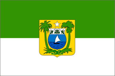
Bandeira do Estado do Rio Grande do Norte
| Dados: Nome: Microrregião do Seridó Ocidental Potiguar Município Sede (e/ou Mais Populoso): Caicó População (2000): 89.413 Área (Km²): 3.114,24070 Sigla: RNSW |
|
Municípios da Microrregião do Seridó Ocidental Potiguar (7):
Caicó (56.886)
[Central Potiguar, Seridó Ocidental Potiguar]; Lat.: 6.46°S; Long.:
37.10°W; Fontes: pop.: IBGE; latitude e longitude World Gazetteer.
|
Esta página foi atualizada em 16/05/05
Este sítio está no ar desde 15/05/01
| © 2001-2005 Geografia na Internet: http://geografia.geral.sites.uol.com.br |